Celestial atlas
The portfolio plotted back onto the sky.
A cleaner replacement for the hand-managed JSON workflow: each image can become a sky-map entry with coordinates, angular size, rotation, and links.
M31 – Andromeda GalaxyHorseheadNebulaOrionTriangulumHeartVeilElephantM45RosetteEagle NebulaWitch Head NebulaM51
 M31 – Andromeda GalaxyRA 10.68 / Dec 41.25
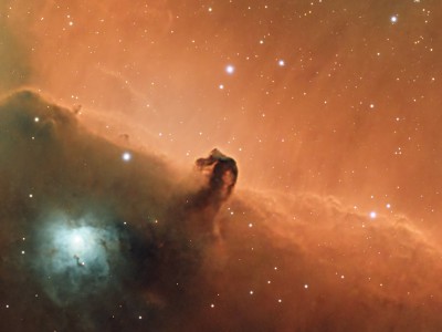 HorseheadNebulaRA 85.26 / Dec -2.28
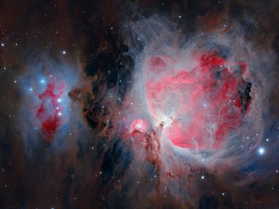 OrionRA 83.81 / Dec -4.95
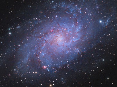 TriangulumRA 23.28 / Dec 30.49
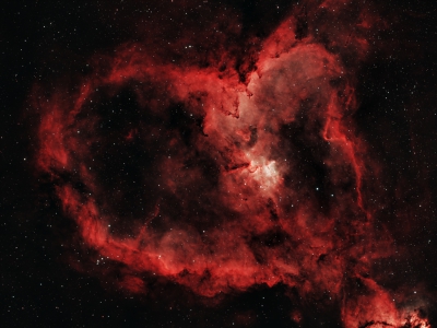 HeartRA 38.09 / Dec 60.63
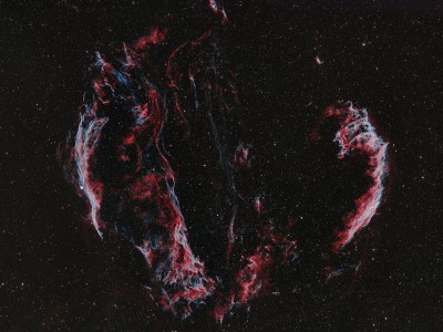 VeilRA 313.12 / Dec 30.92
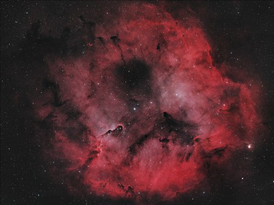 ElephantRA 325.40 / Dec 58.00
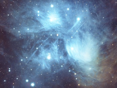 M45RA 56.84 / Dec 24.55
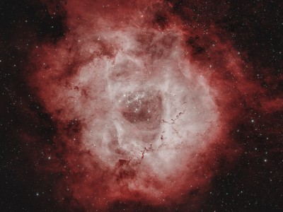 RosetteRA 97.86 / Dec 4.74
 Eagle NebulaRA 274.58 / Dec -13.90
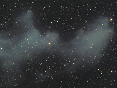 Witch Head NebulaRA 76.15 / Dec -6.47
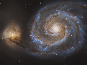 M51RA 202.53 / Dec 47.21
12 mapped image overlays
The current data includes image URLs, thumbnails, target names, page links, RA/Dec coordinates, angular dimensions, and rotation. In the rebuilt version these fields should come from a small editor instead of a manually uploaded JSON file.